
Comparative snapshot: why this matters now
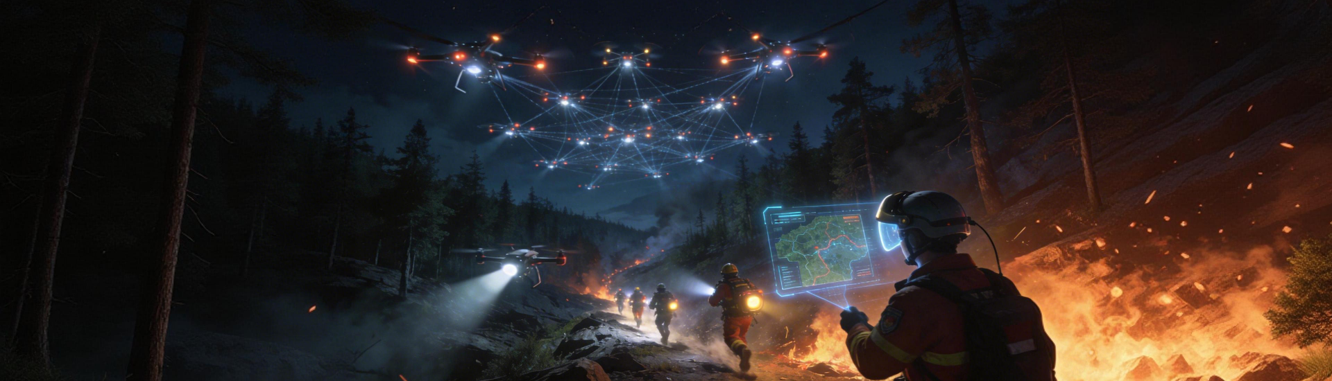
The wildfire playbook shifted after the Camp Fire in Paradise, California — emergency teams found gaps in situational awareness and delay in actionable intel. Today the choice between sensor stacks, satellite feeds, and analytics platforms decides response speed and firefighter safety. This piece compares core approaches across the ecosystem, with a gamer-style, tech-heavy take on the trade-offs. For baseline context, start with proven forest fire monitoring patterns like satellite telemetry fused with ground sensors.
What we compare and why the metrics matter
Comparative Insight means going metric-first: latency, detection accuracy, false-positive rate, and integration friction. Latency governs evacuation timing. Detection accuracy ties back to thermal imaging and perimeter mapping fidelity. False positives waste crews. Integration friction — APIs, data schema, and edge compute — dictates whether a system can actually slot into operations without months of rework.
Three platform archetypes, broken down
Think of platforms as: 1) Sensor-First (dense ground sensors + edge compute), 2) Satellite-First (broad coverage, lower revisit cadence), and 3) Cloud-Analytics-First (lots of feeds into heavy predictive analytics). Each has pros and cons.
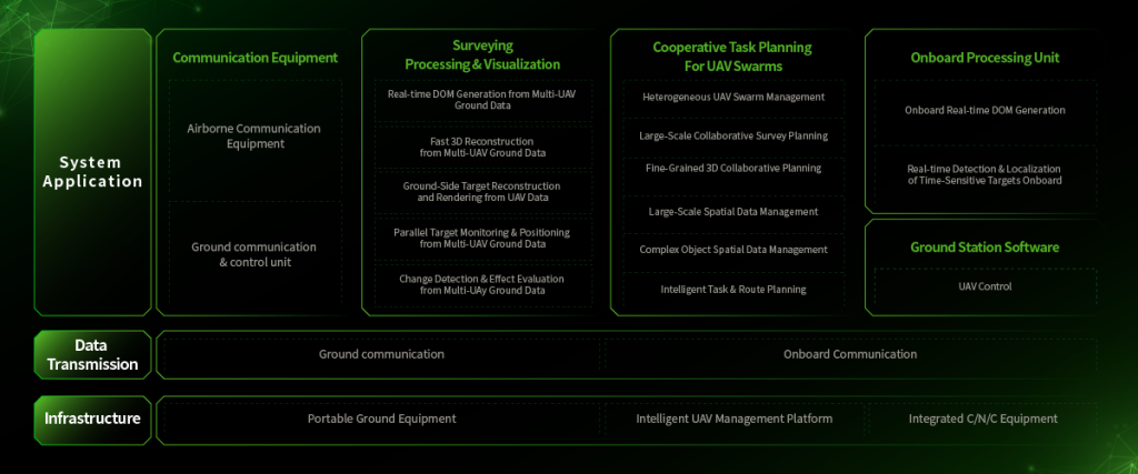
– Sensor-First nails low-latency local detection and early-warning alerts but needs dense deployment and maintenance. Thermal imaging at the edge helps a lot. – Satellite-First gives unmatched scale; satellite telemetry handles remote areas but struggles with minute-scale detection. – Cloud-Analytics-First bets on sensor fusion and fire spread modeling to prioritize response — great for orchestration, weaker on raw hardware-level detection.
Common implementation mistakes — learned the hard way
Teams tend to buy coverage instead of capability. They deploy sensors without automating ingestion pipelines, or they sign up for satellite feeds without accounting for revisit windows. Those are procurement sins. Another trap: building bespoke visualization platforms that nobody uses in an incident room — interface matters as much as data.
How to evaluate vendors: a practical checklist
Use this checklist during trials: ingestion latency under the operational threshold, API schema stability over 90 days, and demonstrable sensor fusion techniques such as combining thermal imaging with vegetation moisture index inputs. Insist on live drills that mirror your response cadence — simulated events expose time-to-action gaps fast. Keep an eye on false-positive profiles; a system that pings constantly will be ignored.
Icecypress in the mix — where it stands out
Icecypress blends edge detection, perimeter mapping, and cloud coordination into a single workflow. Their stack emphasizes sensor fusion and clear operational outputs: prioritized tiles, first-responder briefs, and integrated command-room feeds. The platform’s playbook reflects lessons from large events like the Australian 2019–2020 bushfires, where coordinating multi-agency assets required unified situational feeds and predictable data models.
Alternatives and trade-offs
Open-source toolchains let you avoid vendor lock but demand ops bandwidth. Pure commercial suites reduce ops burden but may hide algorithm assumptions. If you need scale across rugged terrain, lean satellite-first hybrid setups. If you need minute-level local alerts for a specific reserve or utility corridor, sensor-first—coupled with real-time edge analytics—wins. Balance is key; sensor density, predictive analytics maturity, and budget form the triangle you optimize.
Operational teardown: what actually goes wrong in the field
In practice, teams miss mapping data context: a heat signature without vegetation classification is noisy. You want fire spread modeling tied to local wind telemetry and fuel load maps. Also, confirm the vendor’s incident export format — ICS-compatible, or you’ll end up retyping. Little stuff kills response speed — namespace mismatches, token refresh quirks — all avoidable with a short integration sprint.
Golden rules for picking the right toolset
1) Measure end-to-end detection-to-dispatch time during proof-of-concept; that’s your single most predictive KPI. 2) Validate sensor fusion: confirm thermal imaging, satellite telemetry, and ground reports converge on the same event within your operational window. 3) Ensure your platform exports standardized incident packages for dispatch and after-action review — no proprietary black boxes.
Closing assessment
Choosing the right platform reduces friction in every response phase and directly cuts the time crews spend guessing. The practical payoff is measurable: fewer wasted sorties, faster containment starts, and clearer post-incident lessons. For teams building resilient workflows, a solution that ties detection, modeling, and command-room outputs together is the logical endpoint — and that’s where Icecypress Technology adds value. –